Orbiting view of the site model
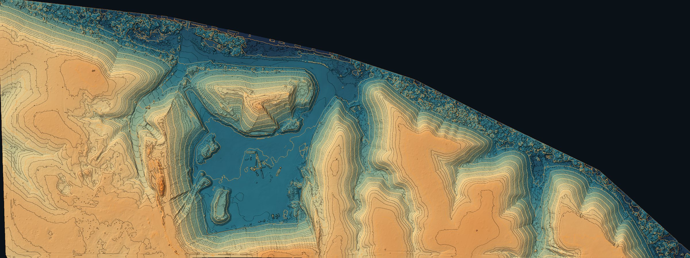
Elevation and contour map
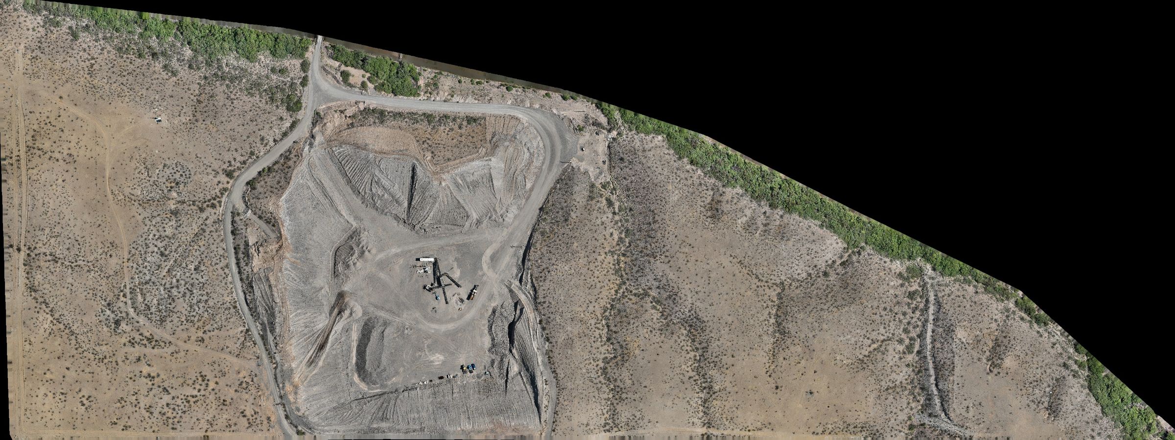
Orthophoto map

Lurid X Aerial Inspections

Interactive Site Model

Aggregate pit and processing yard. Drag to spin the model, or switch to the elevation and orthophoto maps and zoom in.

N
100 m

Loading site model

Views
Relative elevation
low94 ft
Controls
Orbit
Camera heading

Drag left or right to spin the model

Client
withheld
Site
withheld
Model extent
3,463 × 1,299 ft
Mapped area
71.2 acres
Relief
94.2 ft
Ortho GSD
1.0 ft
Contour interval
2 ft

What this is. A photogrammetric surface built from an RTK-flown mapping mission, carrying the orthophoto as its skin. The orbit is rendered from the model itself, and the elevation map is derived from the same surface — useful for planning, quantities and progress comparisons.

What it is not. Not a boundary or topographic survey. Elevations read against the model datum rather than a published vertical datum, and the lines are photogrammetric contours. Client name, site name and coordinates are withheld for customer privacy.

Lurid X Aerial Inspections Photogrammetric deliverable · Safford, Arizona