RTK-flown aerial mapping
Your site, measured and in the browser
Pits, yards and job sites flown with RTK and delivered as orthophotos, contour maps, stockpile volumes and a 3D site model anyone on your team can open — no software, no login.
RTK-flown aerial mapping
Pits, yards and job sites flown with RTK and delivered as orthophotos, contour maps, stockpile volumes and a 3D site model anyone on your team can open — no software, no login.
What I fly
One mapping mission produces the whole set. Fly it once a month and the comparison between flights becomes the real product — what moved, what grew, how much.
Pile-by-pile volumes against a fitted base or a surveyed toe, reported in cubic yards with the method and assumptions stated on the page.
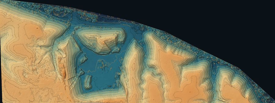
Georeferenced orthomosaics down to about an inch per pixel, with photogrammetric contours at the interval you work in.
Zoom imagery of roofs, tanks, towers and structures — close enough to read a seam without putting anyone on a ladder.
Repeat flights on the same control, so each month's surface stacks against the last for cut, fill and honest progress reporting.
Sample deliverable
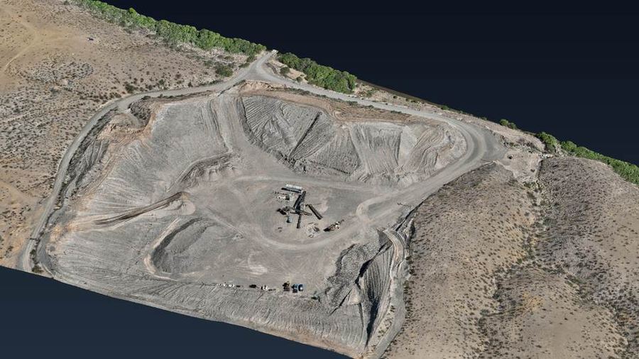
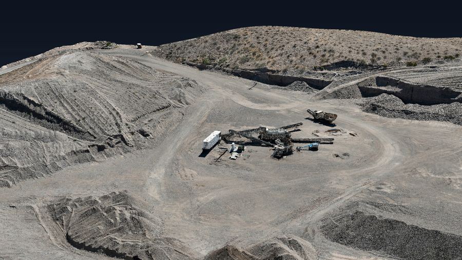
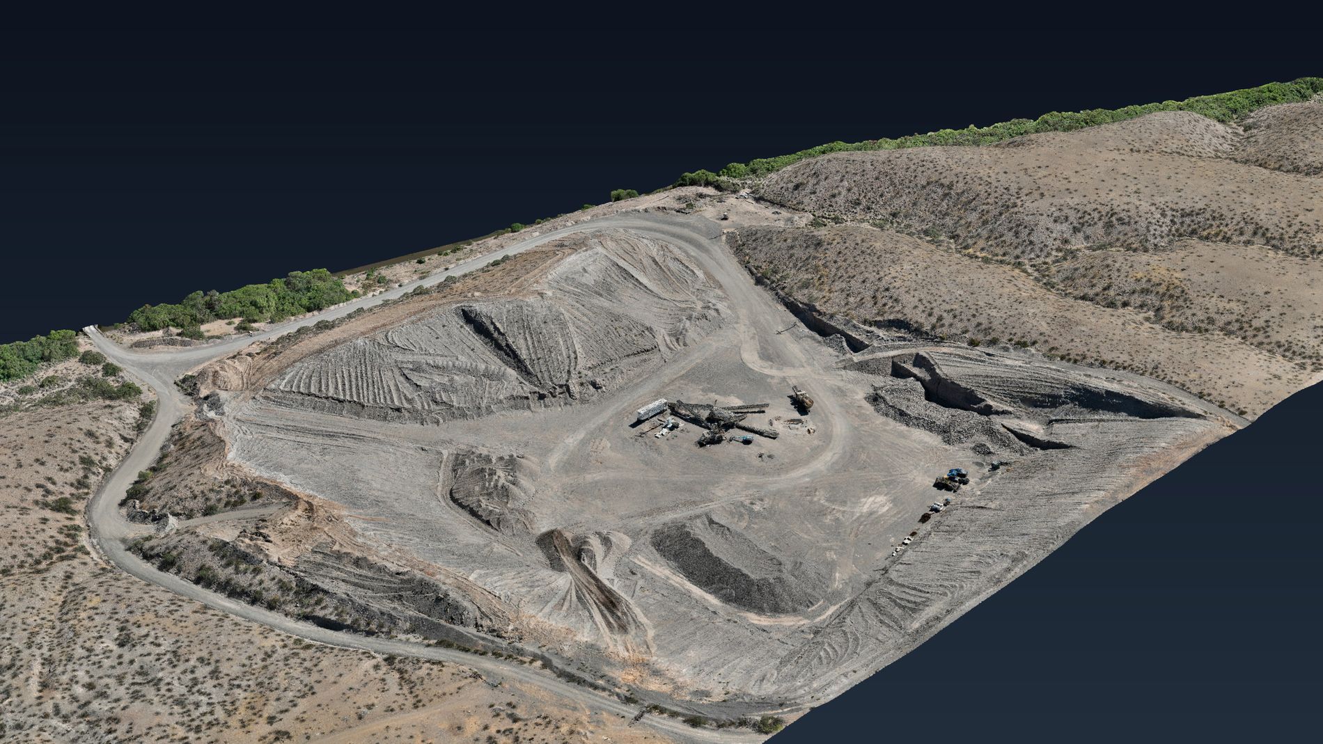
This is the actual deliverable, with the client and location withheld. Spin the model, switch to the elevation map with 2 ft contours, or zoom into the orthophoto — in a browser, on a phone, at the scale house.
How it's flown
Every mission flies on RTK, with GCPs where the job calls for it and elevations tied to control your surveyor already set.
On a recent mapping mission, modelled elevations matched two surveyor-established control points within 0.3 in. Accuracy depends on the site, the control available and the flight plan, so it gets stated per job rather than promised in the abstract.
Equipment
Working across southeastern Arizona and southwestern New Mexico — Safford, Tucson, Sierra Vista, Silver City and the mines and pits in between.